
“More Than His Share of Genius and Skill”: The Maps of Anton Nielsen
The traditional function of a map is to convey information about geography in a two-dimensional way and on a scale that is comprehensible to the user. Maps document relationships of places and geographical features to one another and allow for calculation of distances. They can show lakes, roads, rivers, towns, and even invisible jurisdictional boundaries. But the richest maps are those that go beyond simple geographical relationships to create something that is visually engaging and that conveys a sense of place within time and space. Anton Nielsen was a creator of such maps.
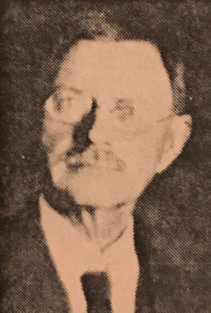
Anton was born in Denmark in 1865. As a young man he converted to Mormonism and emigrated to Utah. He married in 1889 and settled in Salina. There, while working on the construction of a school, he was severely injured. His injuries left him incapacitated for a time and prevented him from doing heavy manual labor for the rest of his life. Fortunately, Anton had other talents. He cultivated an exceptional mastery of penmanship, a useful skill before typewriters or laser printers became commonplace. He also became a fine draughtsman. He was sought out to do calligraphy for special documents, including hundreds of school diplomas.
By 1900 Anton had moved to Richfield and was working as a clerk for the county treasurer. In time he gained a job as deputy in the county assessor’s office and continued in that position into the 1920s. His fine penmanship and drawing can be seen in numerous county records from the early 20th century.

Anton’s skilled work is best exemplified in the various maps he created. Some of these maps have survived the years and are available for viewing in the Digital Archives of the State Archives. The original hand-drawn maps held at the archives are a type of drawing often called “ink on linen.” Anton used black and red ink to draw on a cotton cloth heavily coated with starch that gave it a smooth drawing surface and a pale blue color. Other maps held by the archives are paper copies that were then hand-colored to highlight various elements.

Anton was interested in making his maps not only informational, but visually interesting as well. Even his most basic maps include some decorative flair. In addition to his elegant hand lettering, the maps often include decorative borders and other visual elements.
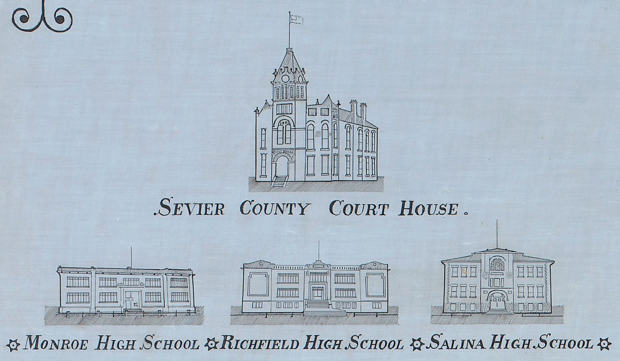
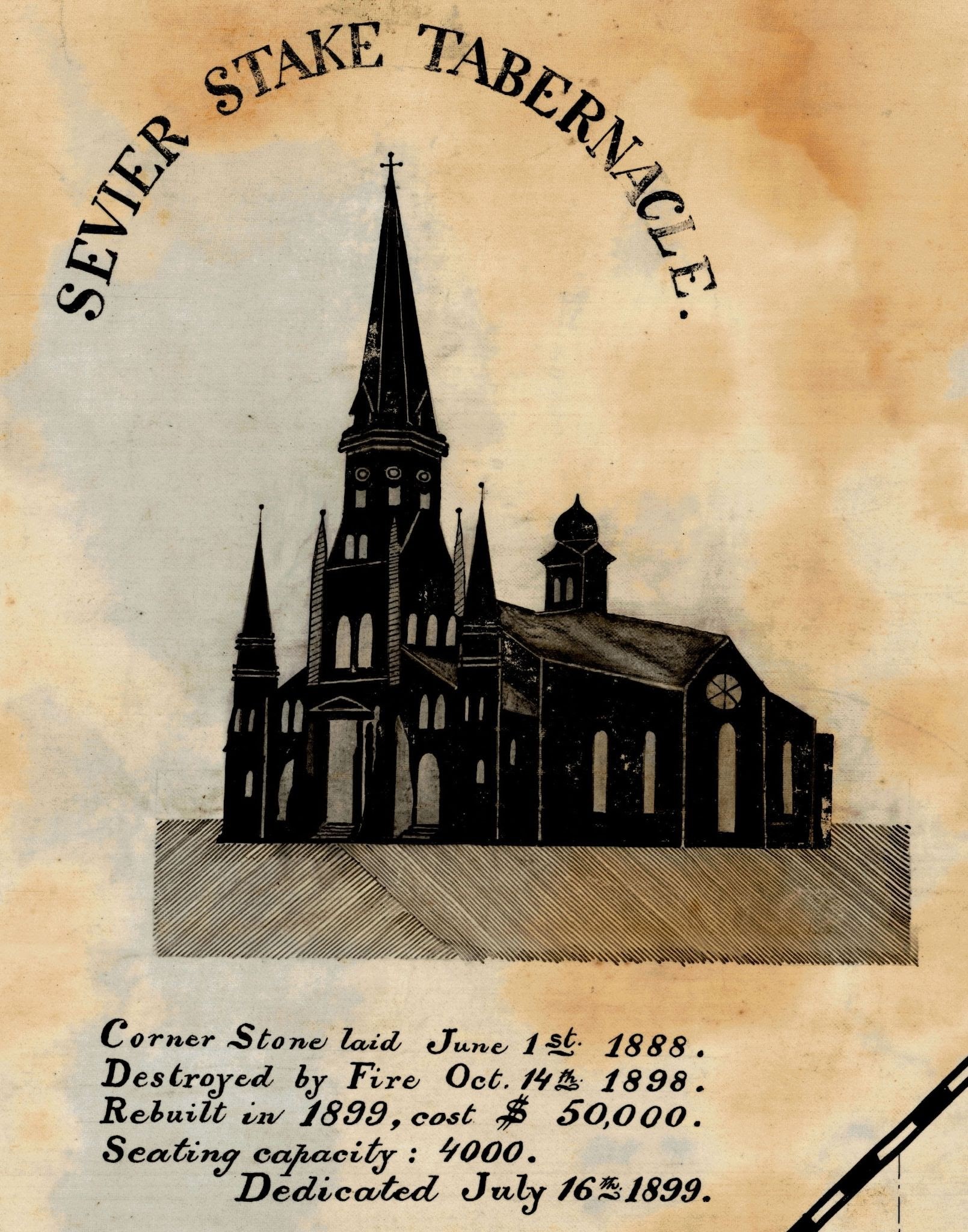
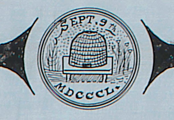
A couple of his maps include images of prominent buildings in the area, like the LDS Sevier Stake Tabernacle, the County Court House, and the local high schools.

His maps could be multi-layered, with cities, roads, railroads, and canals laid over township and section lines, over a layer of geographical features, including mountains and rivers. His 1903 Map of Sevier County shows “Townships, Sections, Cities & Towns, School Districts, Mining Districts & Mining Claims, Railways, Road, Creeks, Canals, Lakes, Mountain Ranges and numerous notes of interest.” The notes of interest include an extensive table of statistics by year for each town and the county, including square miles, population, children of school age, value of land, and number of livestock and bees. Tucked into the middle of the map there is also a simple note suggesting Anton’s pride in his adopted country, “Year of Independence 1776.”
Anton’s 1906 Map of The City of Richfield shows the various plats of the city with block numbers, differentiated in various shades of watercolor. Schools and churches are identified with their distinctive building shapes and include their construction dates.

A historical narrative of the city fills out the bottom portion of the map. Anton’s 1928 County of Sevier map is likewise packed with geographical, statistical, and historical information. In addition it includes a list of Sevier County officials over time.
Throughout, Anton Nielsen’s maps show his interest in geography. They reflect his involvement in county government, with lists of county officials and statistics for property and related tax assessments. They reveal his interest in local history. Above all, the maps show Anton’s pride in his community and pride in the work that he did. Upon Anton’s death in 1929, a friend wrote a tribute in which he noted that,
“He gave to the community in which he lived, more than his share of genius and of skill. The workmanship of his hand and mind will forever stand as a monument to his capabilities. . . . It is doubtful if there can be found in any other county in the state of Utah, records displaying such art and accuracy as Anton Nielsen made in Sevier county.”
Richfield Reaper, 11 Jan 1929
The Anton Nielsen maps preserved at the Utah State Archives are indeed a tribute to a skilled and meticulous public servant and a legacy that we can continue to enjoy still today.
Recent Posts
New Finding Aids at the Archives: April 2024

ARO Spotlight: Debbie Berry from the Division of Water Rights

Utah History Day 2024: Archival Research Winners
From Pews to Pixels: Weber State’s Stewart Library Digitizes New Zion Baptist Church’s Legacy
New Finding Aids at the Archives: March 2024
Authors
Categories
- Digital Archives/
- Electronic Records/
- Finding Aids/
- General Retention Schedules/
- GRAMA/
- Guidelines/
- History/
- Legislative Updates/
- News and Events/
- Open Government/
- Records Access/
- Records Management/
- Records Officer Spotlights/
- Research/
- Research Guides/
- State Records Committee/
- Training/
- Uncategorized/
- Utah State Historical Records Advisory Board/