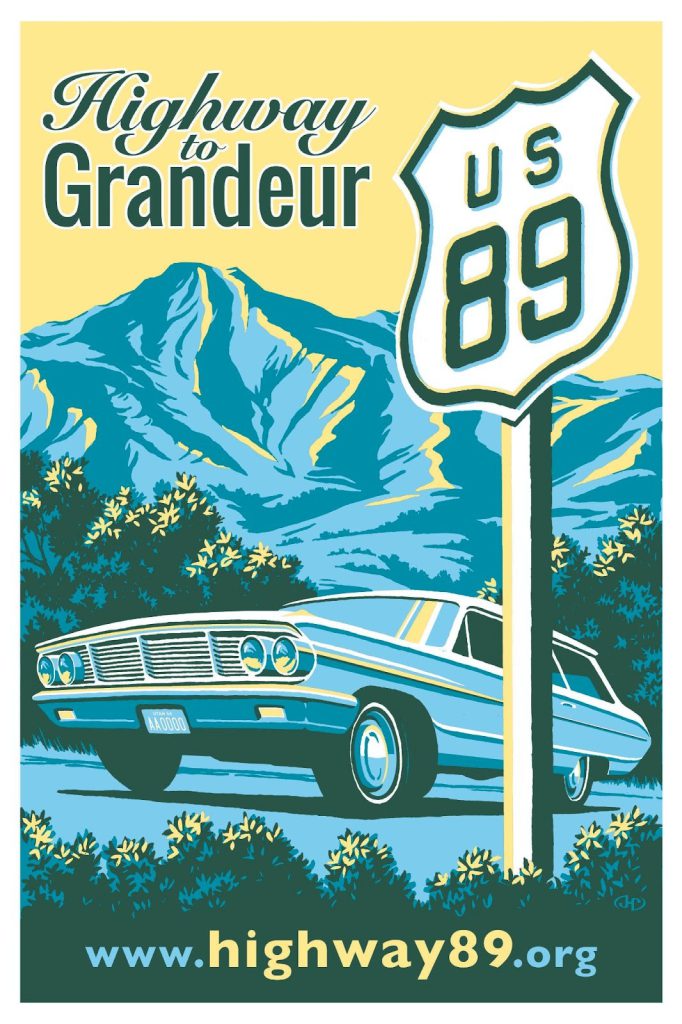
Views from the Road: Highway 89
While not as well known or celebrated as Route 66, Highway 89 is a defining artery of tourism and exploration in the western United States. Traveling from the high mountains of Montana to the low deserts of Arizona, Highway 89 passes through (or is adjacent to) seven national parks, including Saguaro, Grand Canyon, Zion, Bryce Canyon, Grand Teton, Yellowstone, and Glacier. There is a rich history of lived experiences in the towns and stops along the road, as well as memories of travelers to the wide open spaces of the West. The Highway 89 Project was a joint collaboration to gather and celebrate this history, and offers an opportunity to highlight several visually interesting records held by Utah State Archives and Records Service.
A Project Taking Shape
The Highway 89 Project began as a casual conversation at a professional conference where a handful of archivists talked about building a collaborative project modeled on efforts by the National Parks Service to document the history of Route 66.
Led by Brad Cole at Utah State University, the Highway 89 Project began to take real shape in 2012 when Brad worked to pull partner organizations together to apply for an Institute of Museum and Library Services (IMLS) grant. Initial collaborators on the grant project included librarians, archivists, and digital specialists from Utah State University, Southern Utah University, and Utah State Archives and Records Service. Grant funding allowed these collaborators to meet regularly and map out the project while also receiving training on innovative librarianship and information access practices. The grant team utilized their skills and grant funding to:
- Develop the Highway 89 Collection website
- Build a process for institutions to submit content to that website
- Develop a promotional video for the project
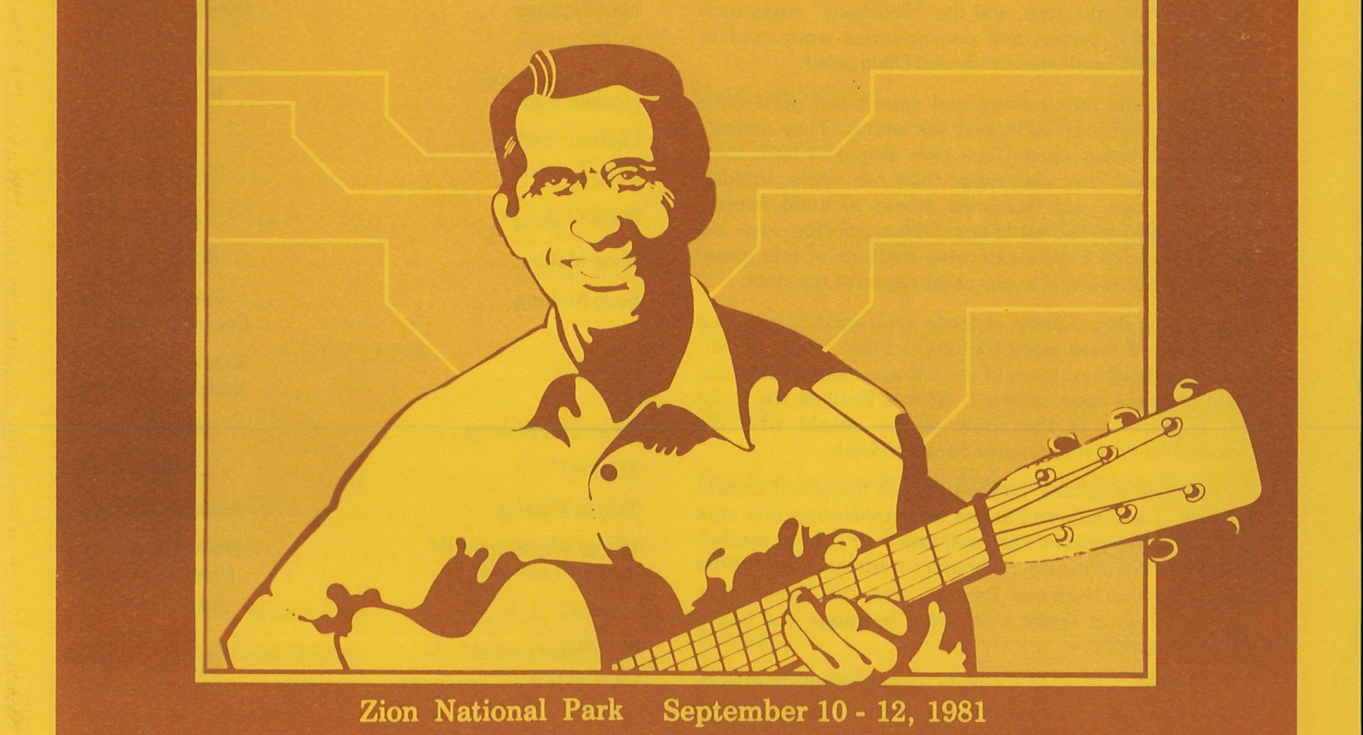
- Commission artwork for the project that was completed by Utah artist John Clark
Records from Utah State Archives
As the institutional repository for both state and local government records in Utah, the Utah State Archives and Records Service holds a variety of records from towns and counties that are situated along Highway 89 as it winds its way through the state. In addition to being available on the Highway 89 project website, we have created a special Highway 89 Collection landing page in our Digital Archives!
Series 25229 – Official photographs: Thistle disaster documentation
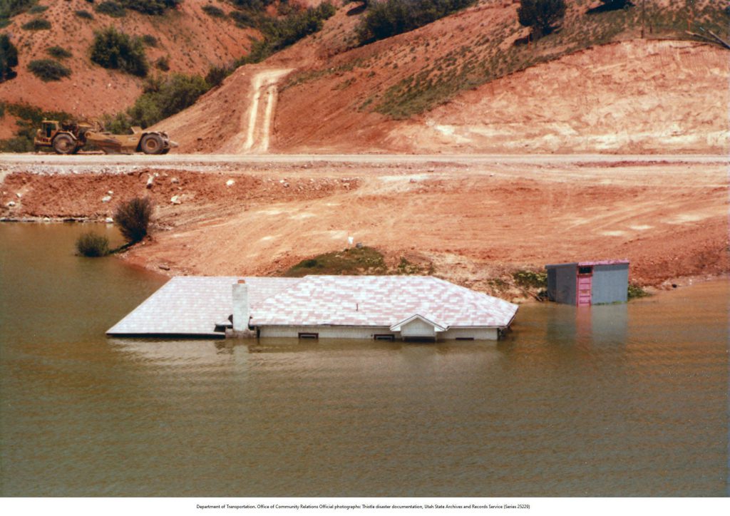
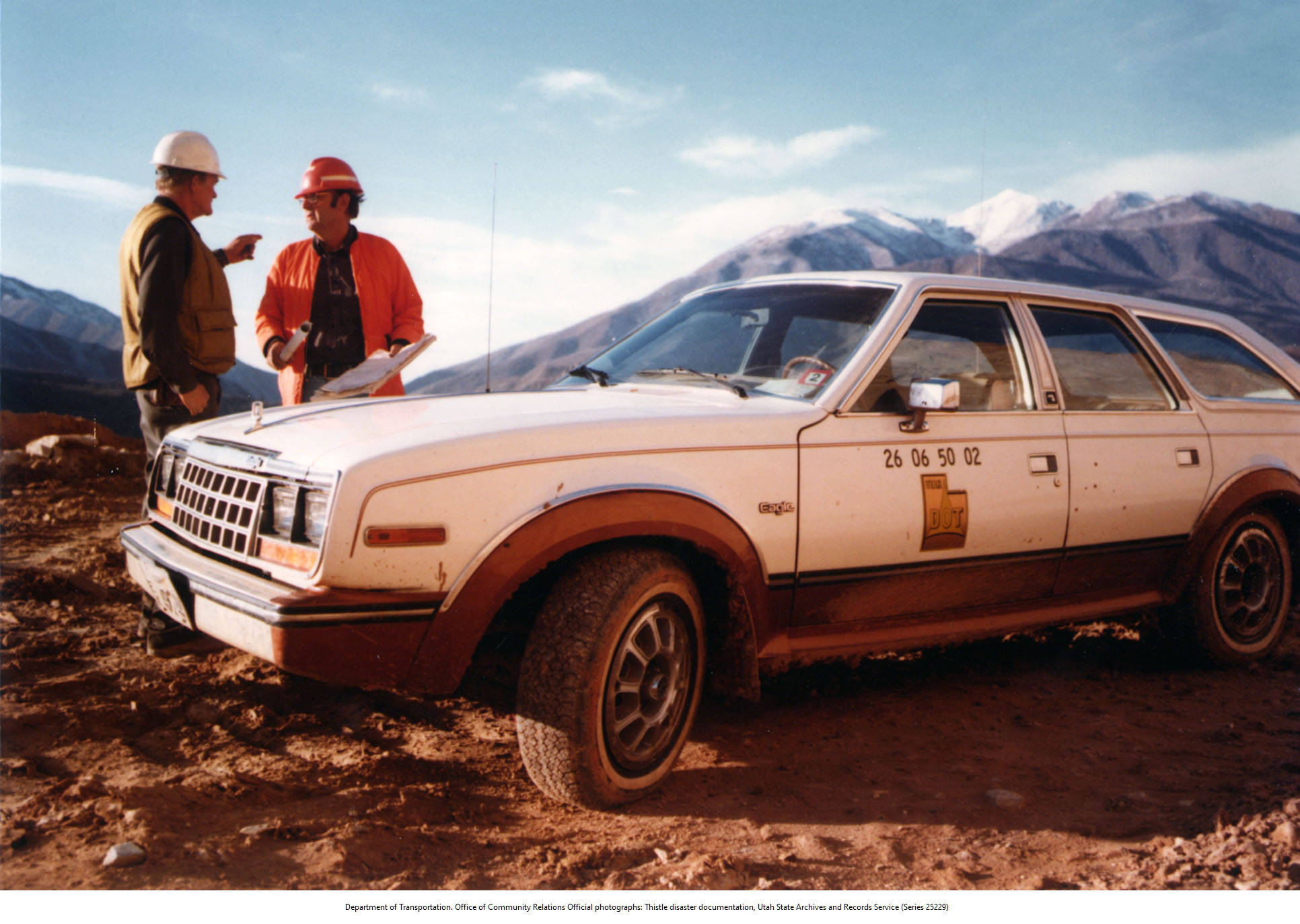
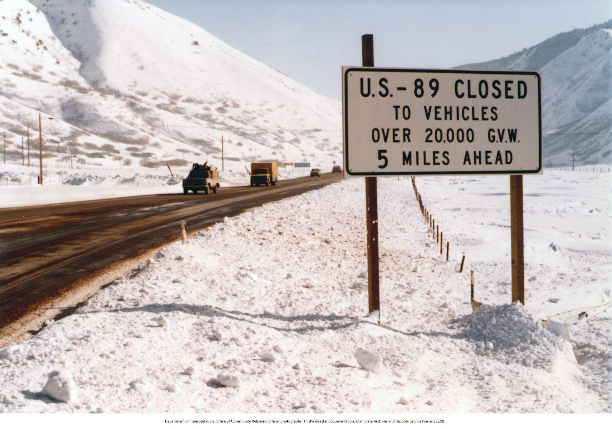
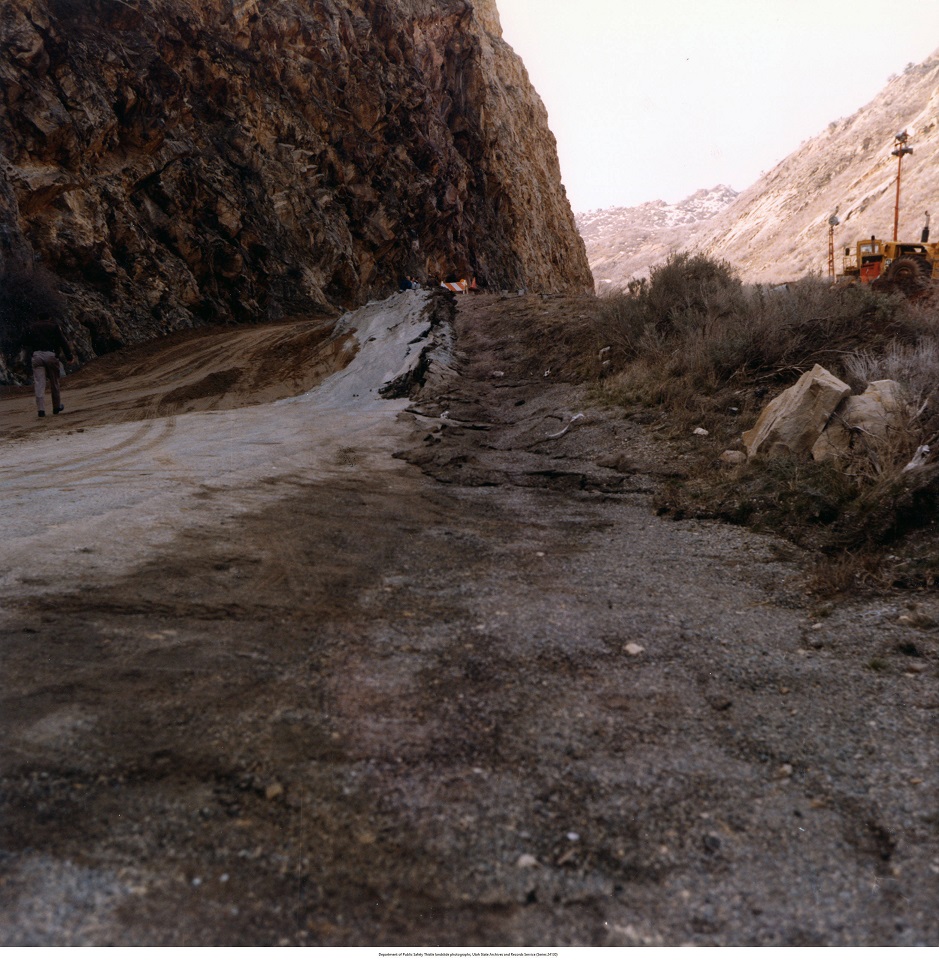
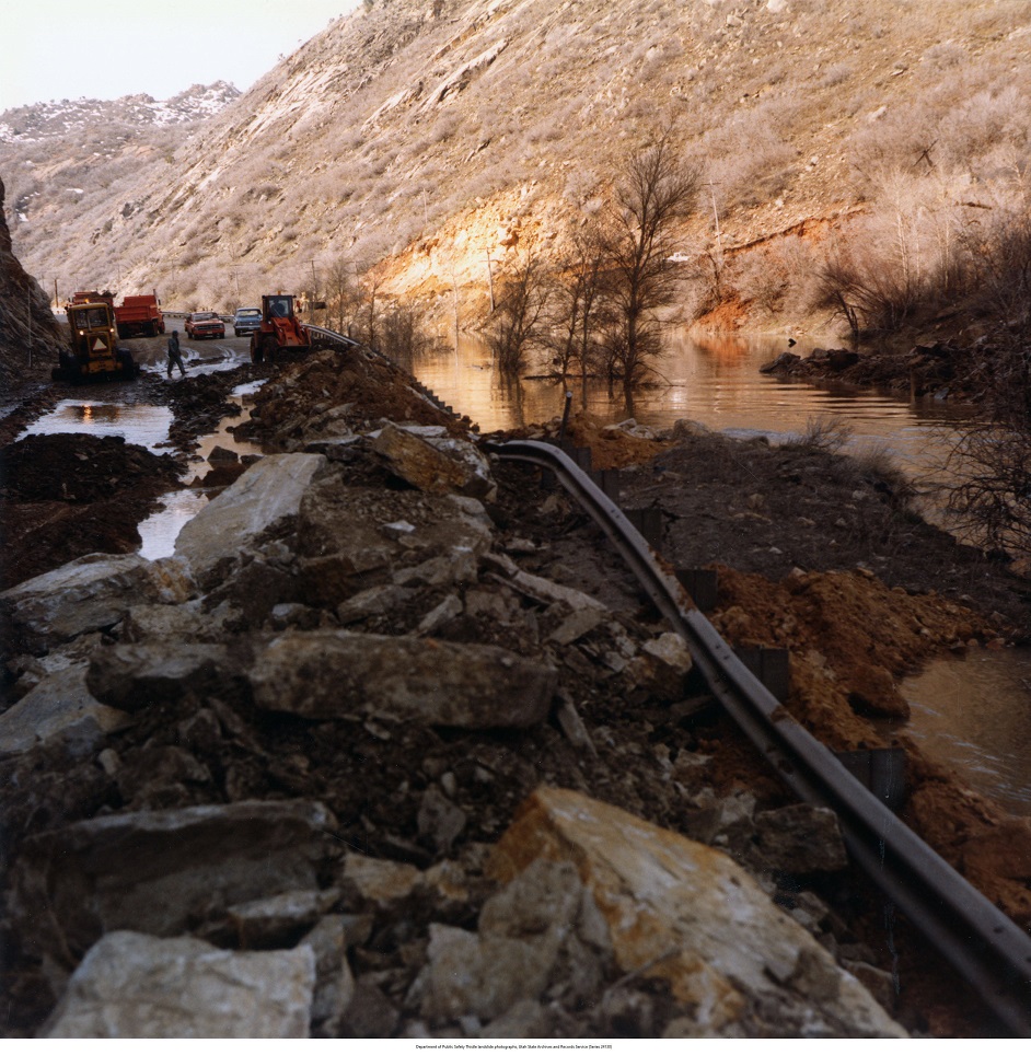
Utah Department of Transportation (UDOT) Community Relations personnel (including Photographic Services Director Gerald E. Peterson) took hundreds of photographs to document the Thistle Disaster of 1983-1984. Documentation began in April 1983 after heavy precipitation saturated the soil, causing instability. Utah Department of Transportation crews initially responded to reports that shifting earth had left huge cracks in U.S. Highway 6. Shortly after, a giant earthflow—moving at 6-18 inches an hour—dumped more than one million cubic yards of earth over the highway and destroyed the Denver and Rio Grande Western Railroad tracks. Highway crews were unable to save either the road or the tracks as the mud mountain continued to slide from early April into May. The massive slide created a natural dam across the Spanish Fork River, and the dam in turn created Thistle Lake, which completely submerged and destroyed the town of Thistle. The U.S. Corp of Engineers, the Utah National Guard, and construction workers from many companies joined UDOT workers in response to the Thistle slide. Efforts to control the slide turned to reconstruction of rail and roadways, and to the construction of a drainage tunnel which would control drainage of Thistle Lake.

Series 959 – Outdoor advertising sign inventories
This is a curated set of images from a highway road sign inventory project completed by the Utah Road Commission in the 1960s and 1970s. Over the years Highway 89 boasted thousands of signs, from painted plywood advertising national parks to flashy neon directing motorists to motels. This sampling of such signs, many of which have long been taken down, are an important part of the Highway’s history.
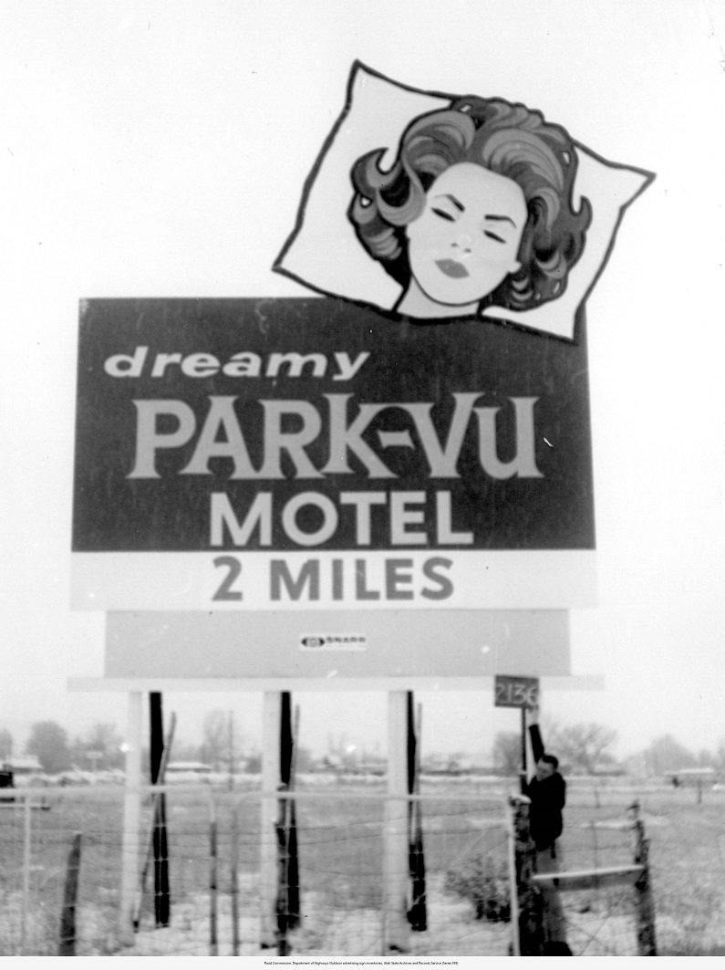

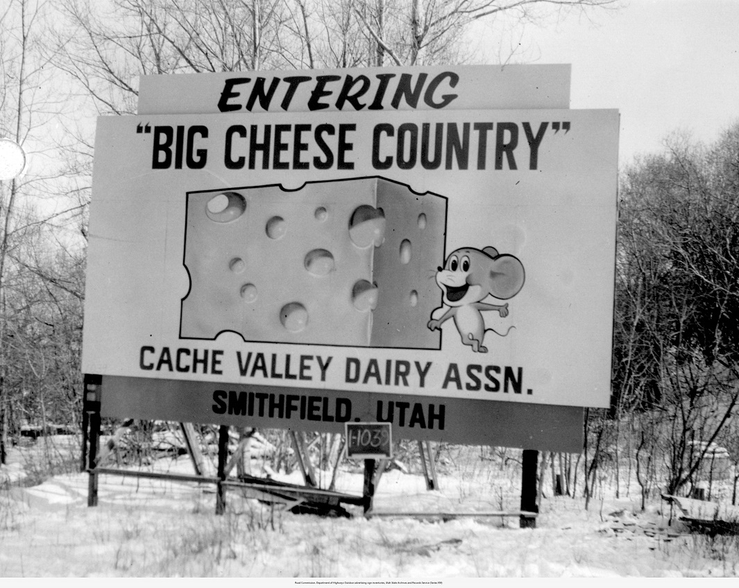
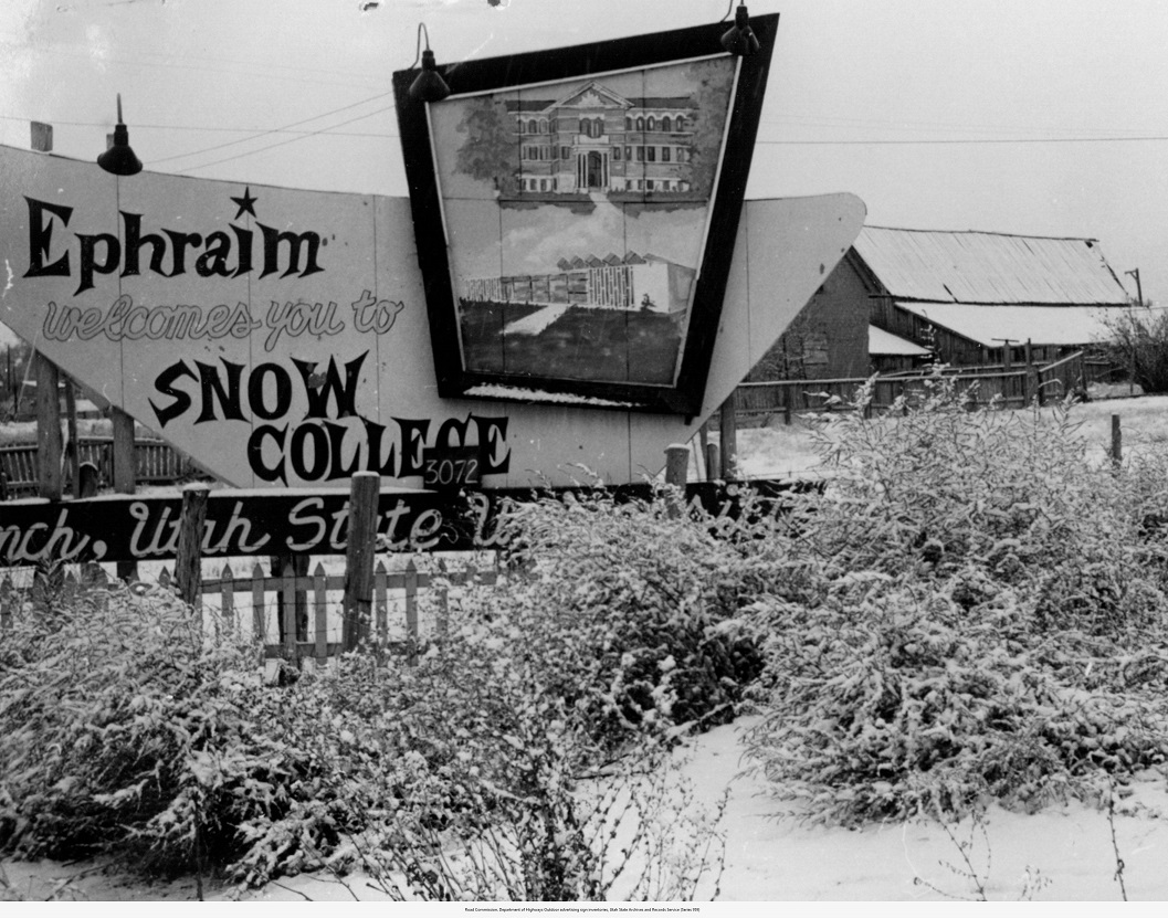
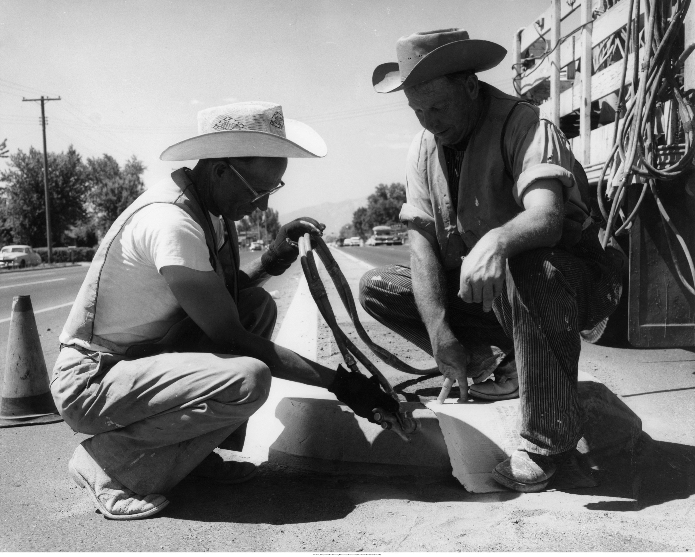
Series 25473 – Subject Photographs
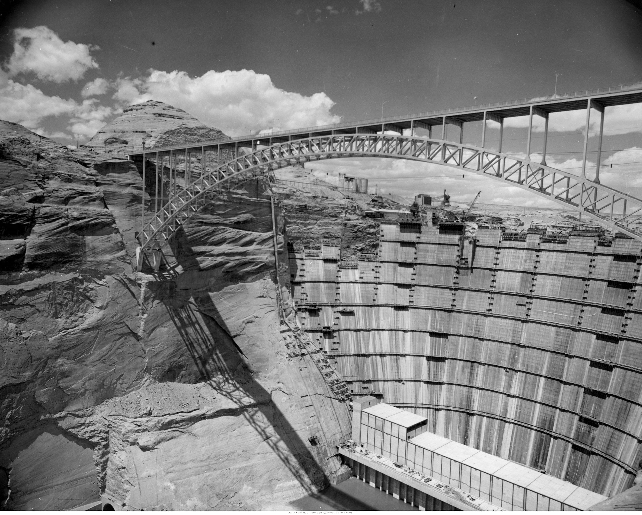
The Department of Transportation (UDOT) documents its activities and construction projects with photographs. During the late 1950s and early 1960s, the Department (then organized as the State Road Commission) was highly involved in the construction of Interstate Highways throughout the state. This is a curated set of images that show Highway 89 and the Glen Canyon Dam Bridge construction.
Series 24130 – Thistle landslide photographs
This series, created by the Department of Public Safety, documents the Thistle landslide, the effects of the landslide, and some of the repair and construction efforts following the slide. Most are aerial photographs. There are also a few aerial photographs of the Salt Lake valley area included.
Recent Posts
New Finding Aids at the Archives: April 2024

ARO Spotlight: Debbie Berry from the Division of Water Rights

Utah History Day 2024: Archival Research Winners
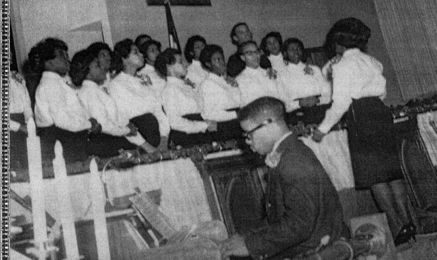
From Pews to Pixels: Weber State’s Stewart Library Digitizes New Zion Baptist Church’s Legacy
New Finding Aids at the Archives: March 2024
Authors
Categories
- Digital Archives/
- Electronic Records/
- Finding Aids/
- General Retention Schedules/
- GRAMA/
- Guidelines/
- History/
- Legislative Updates/
- News and Events/
- Open Government/
- Records Access/
- Records Management/
- Records Officer Spotlights/
- Research/
- Research Guides/
- State Records Committee/
- Training/
- Uncategorized/
- Utah State Historical Records Advisory Board/
